Conditions
What the mountain looks like at two heights: the valley and the upper station. Every number and status on this page is a simulation.
Simulation. There are no real sensors, lifts or cameras behind this page yet.
Valley
≈ 1,520 m
Simulation
- Temperature
- 24 °C
- Wind
- 6 km/h, light
- Avalanche danger
- Not assessed
Upper mountain
≈ 2,700 m
Simulation
- Temperature
- 14 °C
- Wind
- 22 km/h, moderate
- New snow, 24 h
- none
- Avalanche danger
- Not assessed
No avalanche assessment has been made for this terrain. Nothing here may be read as a safety statement. Sunrise 05:58 · Simulated at 07:30.
Facilities today
Status of the starting-scale facilities. Statuses are invented to show how the page will work.
Lifts: 1 / 2 · Lines and routes: 4 / 5 · Simulation
Lifts
- L1 Gondola, base to PanoramaOpen
- L3 Learner liftWinter only, not in this season
Lines and routes
- F5 Valley FlowOpen
- F1 Panorama FlowOpen
- T1 Valley terrain walkOpen
- H1 Meadow loopOpen
- H2 Viewpoint walkClosed, wind at the top
Stage 2 (Stage 2)
Not part of the starting scale. Shown grey on the map, with no status.
- L2
- F2
- F4
- H3
- H4
Cameras
Three simulated viewpoints. The frames are concept visualizations, not live pictures.
No frame yet
The concept frame for this viewpoint has not been generated.
Valley≈ 1,520 m · Simulated at 07:30
Concept visualization, simulated camera, no real cameras
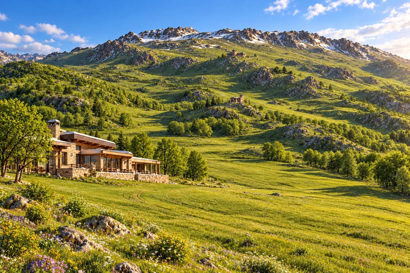
Mountain base≈ 1,985 m · Simulated at 07:30
Concept visualization, simulated camera, no real cameras
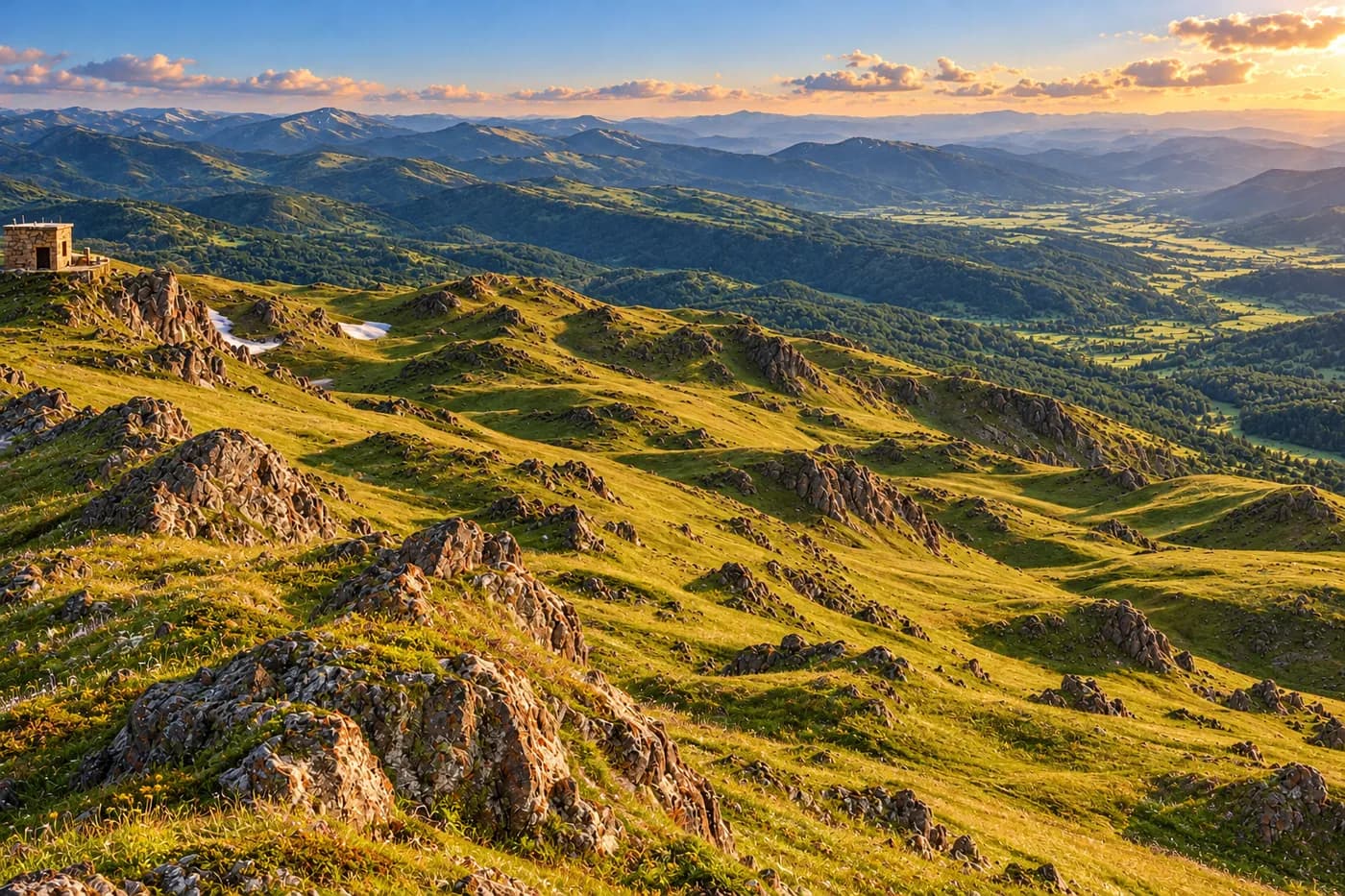
Panorama station≈ 2,400 m · Simulated at 07:29
Concept visualization, simulated camera, no real cameras
When we connect real sources
What has to exist before any of this stops being a simulation. None of it is started.
Weather at two heights
Choice of a source for about 1 520 m and about 2 700 m, service level, a sensor at the upper point.
Lift and line status
An operator and a feed from the lift control system. Today the statuses are typed in by hand.
Cameras
Real hardware, power and network at each point, image rights. Today there are no cameras.
Avalanche, wind, scree
A specialist assessment on detailed terrain data and a field visit. Not done.
Not assessed. Avalanches, wind loads, scree, forest, water, access road, ambulance and evacuation: not assessed.